Latitude: 51.9844 / 51°59'3"N
Longitude: -1.696 / 1°41'45"W
OS Eastings: 420972
OS Northings: 231812
OS Grid: SP209318
Mapcode National: GBR 4PB.J0Y
Mapcode Global: VHBYZ.KD74
Pluscode: 9C3WX8M3+QH
What3Words: pools.oldest.headsets
Is the location marker in the wrong place? You can help fix that!
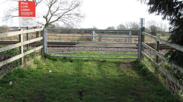
We don't yet have any user-contributed photos of Wass Level Crossing.