Latitude: 52.6907 / 52°41'26"N
Longitude: -2.9497 / 2°56'58"W
OS Eastings: 335909
OS Northings: 310763
OS Grid: SJ359107
Mapcode National: GBR B8.3GH6
Mapcode Global: WH8BQ.NMLK
Pluscode: 9C4VM3R2+74
What3Words: flames.thickened.schooling
Is the location marker in the wrong place? You can help fix that!
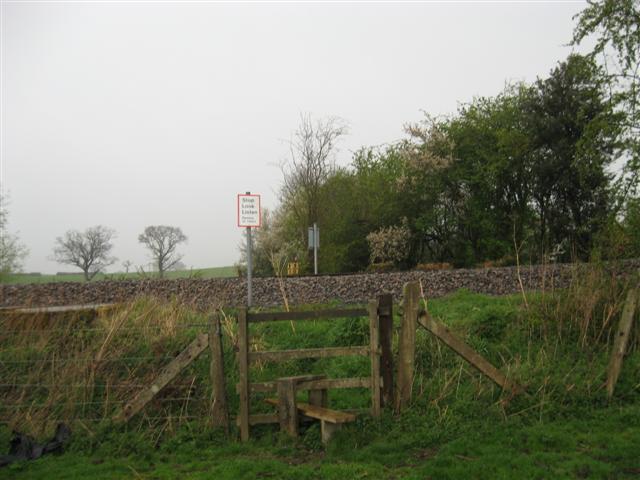
We don't yet have any user-contributed photos of Westbury Down Distant 2 Level Crossing.