Latitude: 53.4777 / 53°28'39"N
Longitude: -2.4056 / 2°24'19"W
OS Eastings: 373180
OS Northings: 397960
OS Grid: SJ731979
Mapcode National: GBR CXN7.02
Mapcode Global: WH988.0VS9
Pluscode: 9C5VFHHV+3Q
What3Words: gifted.hang.importers
Is the location marker in the wrong place? You can help fix that!
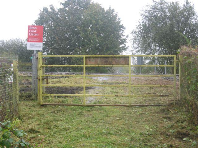
We don't yet have any user-contributed photos of Woodside Farm Level Crossing.