Latitude: 52.7769 / 52°46'36"N
Longitude: 1.4042 / 1°24'14"E
OS Eastings: 629697
OS Northings: 325358
OS Grid: TG296253
Mapcode National: GBR WFZ.V4K
Mapcode Global: WHMSX.JGVH
Pluscode: 9F43QCG3+QM
What3Words: avocado.resembles.glimmers
Is the location marker in the wrong place? You can help fix that!
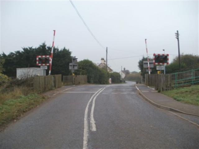
We don't yet have any user-contributed photos of Worstead Station Level Crossing.