Latitude: 56.4309 / 56°25'51"N
Longitude: -5.2477 / 5°14'51"W
OS Eastings: 199838
OS Northings: 731252
OS Grid: NM998312
Mapcode National: GBR FCFQ.F05
Mapcode Global: WH1HM.CM9C
Pluscode: 9C8PCQJ2+9W
What3Words: impose.budgeted.doormat
Is the location marker in the wrong place? You can help fix that!
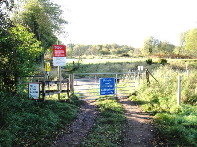
We don't yet have any user-contributed photos of Airds Level Crossing.