Latitude: 52.7332 / 52°43'59"N
Longitude: -1.7281 / 1°43'41"W
OS Eastings: 418453
OS Northings: 315094
OS Grid: SK184150
Mapcode National: GBR 4D6.MWQ
Mapcode Global: WHCGJ.FK9J
Pluscode: 9C4WP7MC+7P
What3Words: added.morphing.composed
Is the location marker in the wrong place? You can help fix that!
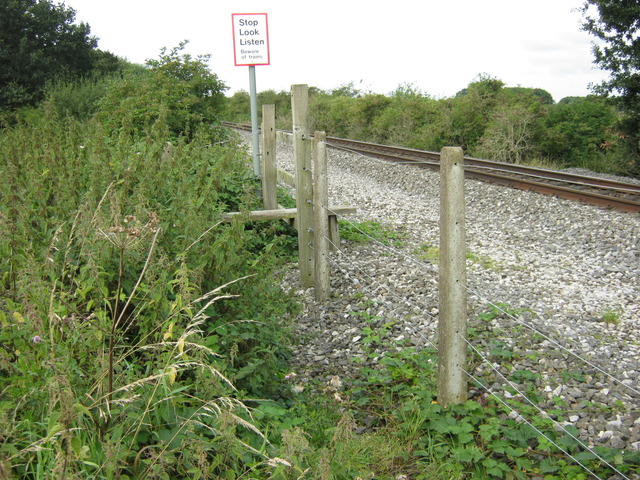
We don't yet have any user-contributed photos of Alrewas Level Crossing.