Latitude: 54.2392 / 54°14'21"N
Longitude: -3.1885 / 3°11'18"W
OS Eastings: 322637
OS Northings: 483263
OS Grid: SD226832
Mapcode National: GBR 6M5F.H4
Mapcode Global: WH71X.ZQT0
Pluscode: 9C6R6RQ6+MH
What3Words: started.movements.rams
Is the location marker in the wrong place? You can help fix that!
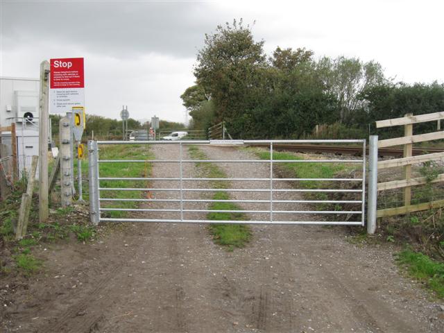
We don't yet have any user-contributed photos of Angerton Hall Level Crossing.