Latitude: 52.0116 / 52°0'41"N
Longitude: -1.7068 / 1°42'24"W
OS Eastings: 420220
OS Northings: 234836
OS Grid: SP202348
Mapcode National: GBR 4NY.THW
Mapcode Global: VHBYS.CPJS
Pluscode: 9C4W276V+J7
What3Words: shorthand.legroom.grades
Is the location marker in the wrong place? You can help fix that!
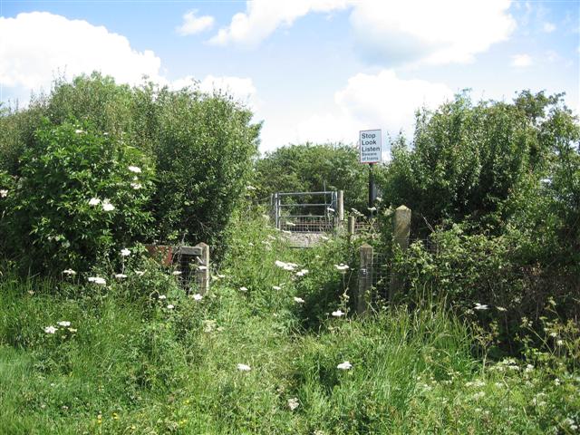
We don't yet have any user-contributed photos of Aston Hall Level Crossing.