Latitude: 51.5347 / 51°32'4"N
Longitude: -3.5865 / 3°35'11"W
OS Eastings: 290053
OS Northings: 182943
OS Grid: SS900829
Mapcode National: GBR HD.GDLF
Mapcode Global: VH5HB.SP9D
Pluscode: 9C3RGCM7+V9
What3Words: forgot.wallet.backup
Is the location marker in the wrong place? You can help fix that!
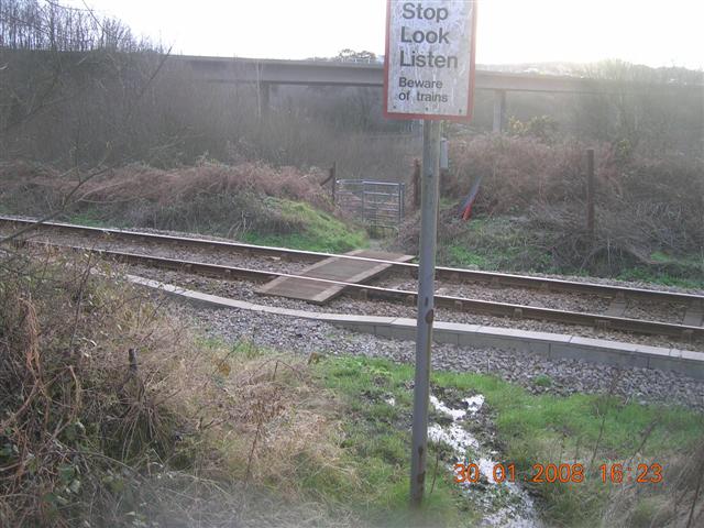
We don't yet have any user-contributed photos of Asylum Level Crossing.