Latitude: 57.3894 / 57°23'21"N
Longitude: -5.4592 / 5°27'33"W
OS Eastings: 192207
OS Northings: 838505
OS Grid: NG922385
Mapcode National: GBR D9X6.05R
Mapcode Global: WH09R.3JNL
Pluscode: 9C9P9GQR+Q8
What3Words: formation.satin.thunder
Is the location marker in the wrong place? You can help fix that!
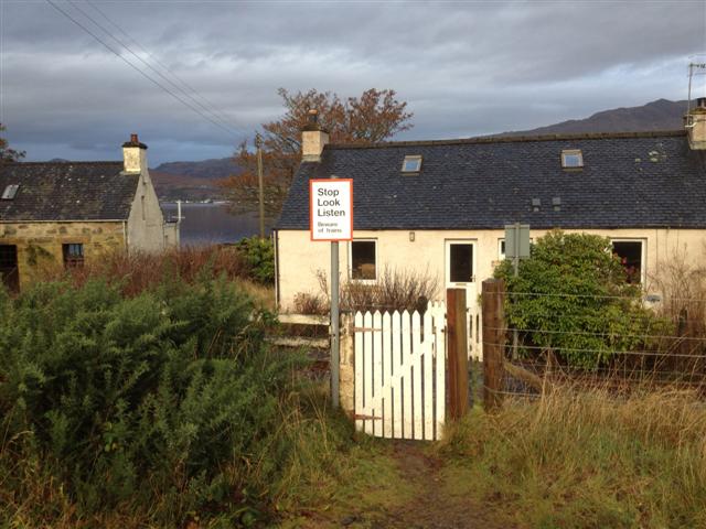
We don't yet have any user-contributed photos of Attadale River Level Crossing.