Latitude: 51.7235 / 51°43'24"N
Longitude: -2.2017 / 2°12'5"W
OS Eastings: 386166
OS Northings: 202772
OS Grid: SO861027
Mapcode National: GBR 1MS.VKG
Mapcode Global: VH94Y.SYF4
Pluscode: 9C3VPQFX+C8
What3Words: shook.boxer.playroom
Is the location marker in the wrong place? You can help fix that!
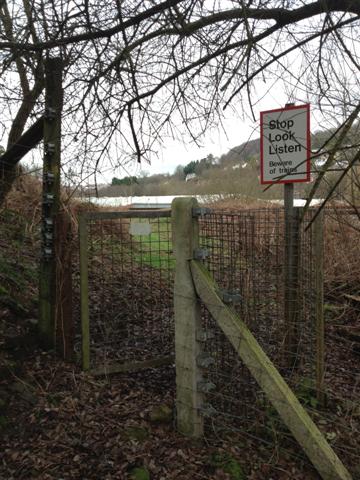
We don't yet have any user-contributed photos of Bagpath Level Crossing.