Latitude: 52.9209 / 52°55'15"N
Longitude: -1.9838 / 1°59'1"W
OS Eastings: 401186
OS Northings: 335946
OS Grid: SK011359
Mapcode National: GBR 26W.WT2
Mapcode Global: WHBD9.HVK3
Pluscode: 9C4WW2C8+9F
What3Words: jabs.flipper.grub
Is the location marker in the wrong place? You can help fix that!
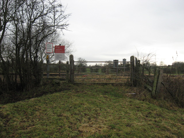
We don't yet have any user-contributed photos of Bailey's Level Crossing.