Latitude: 52.6453 / 52°38'43"N
Longitude: -0.3861 / 0°23'10"W
OS Eastings: 509289
OS Northings: 306504
OS Grid: TF092065
Mapcode National: GBR GXD.569
Mapcode Global: WHGLZ.1RDX
Pluscode: 9C4XJJW7+4H
What3Words: adopters.mallets.serenade
Is the location marker in the wrong place? You can help fix that!
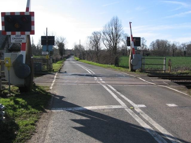
We don't yet have any user-contributed photos of Bainton Level Crossing.