Latitude: 57.7109 / 57°42'39"N
Longitude: -4.1328 / 4°7'58"W
OS Eastings: 273024
OS Northings: 871014
OS Grid: NH730710
Mapcode National: GBR J85B.MNQ
Mapcode Global: WH4FC.HG72
Pluscode: 9C9QPV68+9V
What3Words: fond.curvy.qualify
Is the location marker in the wrong place? You can help fix that!
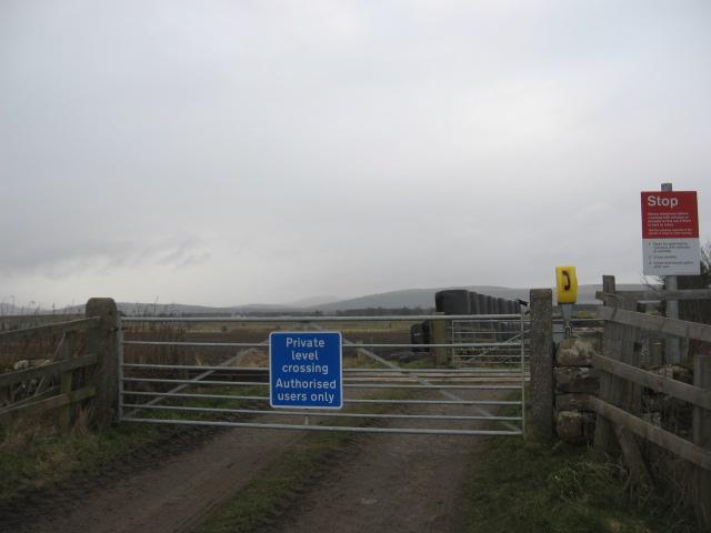
We don't yet have any user-contributed photos of Balintraid Level Crossing.