Latitude: 57.8054 / 57°48'19"N
Longitude: -4.0278 / 4°1'40"W
OS Eastings: 279593
OS Northings: 881335
OS Grid: NH795813
Mapcode National: GBR J8F3.1Q4
Mapcode Global: WH4F1.328N
Pluscode: 9C9QRX4C+5V
What3Words: proud.releasing.skills
Is the location marker in the wrong place? You can help fix that!
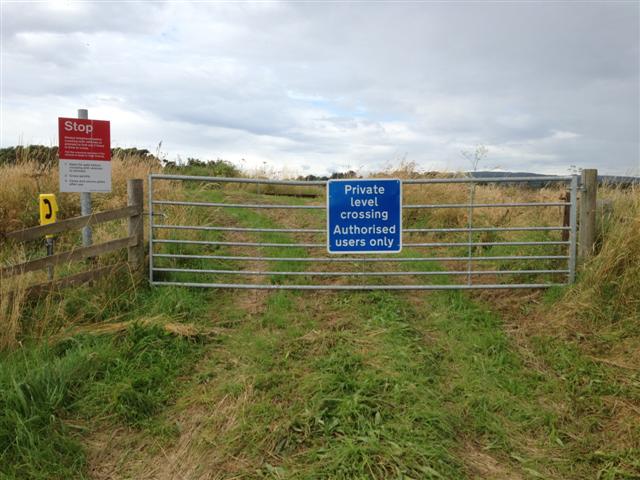
We don't yet have any user-contributed photos of Balkeith South Level Crossing.