Latitude: 50.9773 / 50°58'38"N
Longitude: 0.7697 / 0°46'11"E
OS Eastings: 594532
OS Northings: 123421
OS Grid: TQ945234
Mapcode National: GBR RYP.PFK
Mapcode Global: FRA D6HJ.HPD
Pluscode: 9F22XQG9+WV
What3Words: face.stud.steady
Is the location marker in the wrong place? You can help fix that!
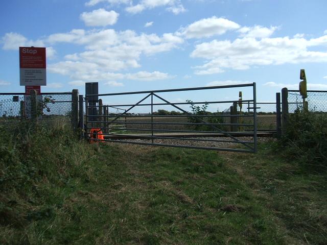
We don't yet have any user-contributed photos of Barts Level Crossing.