Latitude: 50.9652 / 50°57'54"N
Longitude: 0.9025 / 0°54'9"E
OS Eastings: 603904
OS Northings: 122431
OS Grid: TR039224
Mapcode National: GBR T0D.F04
Mapcode Global: FRA D6SK.FFF
Pluscode: 9F22XW83+32
What3Words: disclose.dares.club
Is the location marker in the wrong place? You can help fix that!
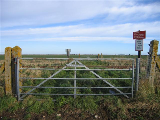
We don't yet have any user-contributed photos of Bass Level Crossing.