Latitude: 53.9217 / 53°55'17"N
Longitude: -2.0149 / 2°0'53"W
OS Eastings: 399121
OS Northings: 447279
OS Grid: SD991472
Mapcode National: GBR GRC2.LY
Mapcode Global: WHB7G.0PTG
Pluscode: 9C5VWXCP+M3
What3Words: sourced.dunes.daredevil
Is the location marker in the wrong place? You can help fix that!
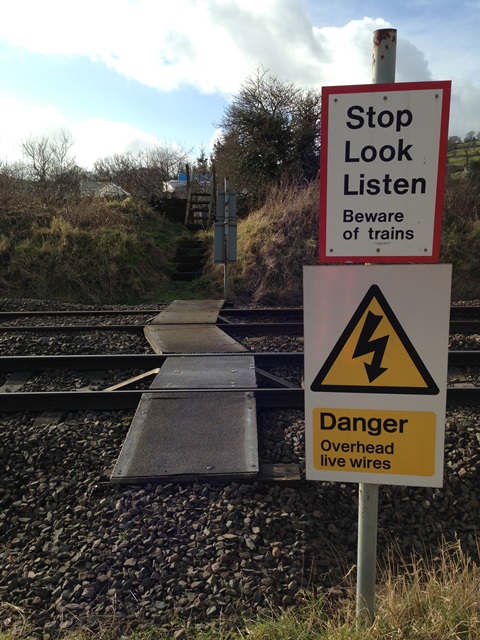
We don't yet have any user-contributed photos of Baxter Wood Level Crossing.