Latitude: 52.6731 / 52°40'23"N
Longitude: -2.7537 / 2°45'13"W
OS Eastings: 349130
OS Northings: 308642
OS Grid: SJ491086
Mapcode National: GBR BJ.4NQG
Mapcode Global: WH8C0.N2WK
Pluscode: 9C4VM6FW+6G
What3Words: beans.trend.maybe
Is the location marker in the wrong place? You can help fix that!
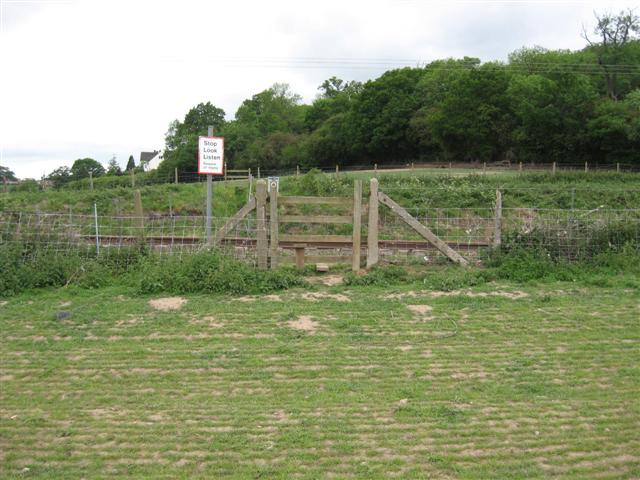
We don't yet have any user-contributed photos of Bayston Hill Quarry Level Crossing.