Latitude: 56.9326 / 56°55'57"N
Longitude: -4.2473 / 4°14'50"W
OS Eastings: 263345
OS Northings: 784614
OS Grid: NN633846
Mapcode National: GBR HBWD.H6M
Mapcode Global: WH3J1.Q0PQ
Pluscode: 9C8QWQM3+23
What3Words: outnumber.shadowed.late
Is the location marker in the wrong place? You can help fix that!
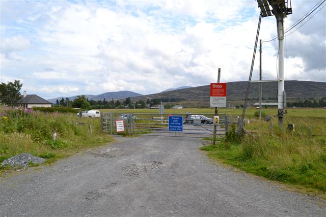
We don't yet have any user-contributed photos of Ben Alder Level Crossing.