Latitude: 51.7404 / 51°44'25"N
Longitude: -3.4986 / 3°29'54"W
OS Eastings: 296624
OS Northings: 205698
OS Grid: SN966056
Mapcode National: GBR HH.1JPR
Mapcode Global: VH5GF.9JT4
Pluscode: 9C3RPGR2+5H
What3Words: shrimp.dices.truckload
Is the location marker in the wrong place? You can help fix that!
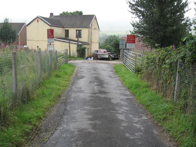
We don't yet have any user-contributed photos of Berthllwyd Farm Level Crossing.