Latitude: 53.1 / 53°5'59"N
Longitude: 0.1101 / 0°6'36"E
OS Eastings: 541374
OS Northings: 357941
OS Grid: TF413579
Mapcode National: GBR KWF.QN5
Mapcode Global: WHJMB.NBMV
Pluscode: 9F5234X6+X2
What3Words: petty.windpipe.crust
Is the location marker in the wrong place? You can help fix that!
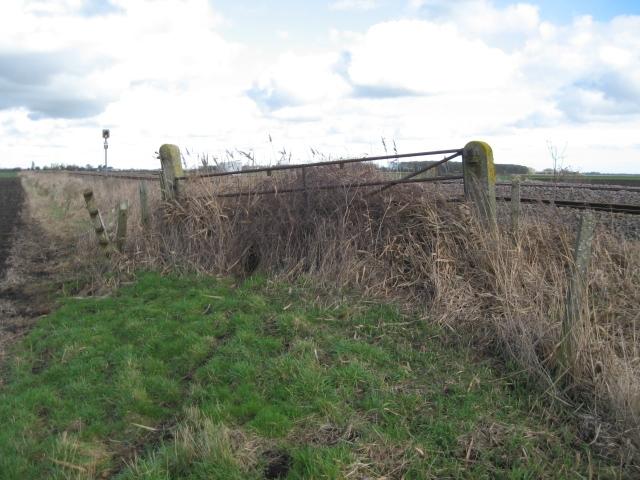
We don't yet have any user-contributed photos of Black Drove Level Crossing.