Latitude: 54.1959 / 54°11'45"N
Longitude: -2.8212 / 2°49'16"W
OS Eastings: 346518
OS Northings: 478103
OS Grid: SD465781
Mapcode National: GBR 8MRX.0N
Mapcode Global: WH83F.MSSQ
Pluscode: 9C6V55WH+9G
What3Words: firepower.painters.daring
Is the location marker in the wrong place? You can help fix that!
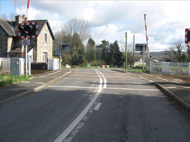
We don't yet have any user-contributed photos of Black Dyke Level Crossing.