Latitude: 56.132 / 56°7'55"N
Longitude: -3.8694 / 3°52'9"W
OS Eastings: 283909
OS Northings: 694831
OS Grid: NS839948
Mapcode National: GBR 1G.KLP7
Mapcode Global: WH4P7.J4NF
Pluscode: 9C8R44JJ+R6
What3Words: guarding.diets.head
Is the location marker in the wrong place? You can help fix that!
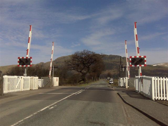
We don't yet have any user-contributed photos of Blackgrange Level Crossing.