Latitude: 52.3125 / 52°18'45"N
Longitude: -1.8008 / 1°48'2"W
OS Eastings: 413677
OS Northings: 268285
OS Grid: SP136682
Mapcode National: GBR 4K4.TTR
Mapcode Global: VH9ZX.Q4VK
Pluscode: 9C4W857X+2M
What3Words: extremes.sonic.words
Is the location marker in the wrong place? You can help fix that!
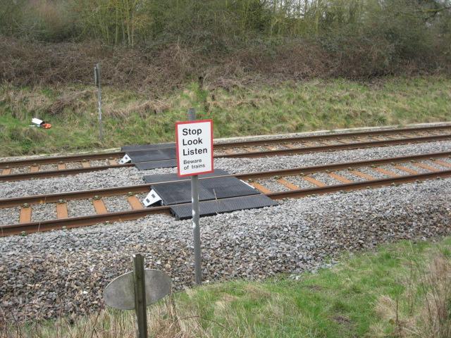
We don't yet have any user-contributed photos of Blunts Green Level Crossing.