Latitude: 53.2039 / 53°12'14"N
Longitude: -4.4151 / 4°24'54"W
OS Eastings: 238789
OS Northings: 370151
OS Grid: SH387701
Mapcode National: GBR 5B.21ZH
Mapcode Global: WH42Z.4QTN
Pluscode: 9C5Q6H3M+HW
What3Words: heartened.polar.tricky
Is the location marker in the wrong place? You can help fix that!
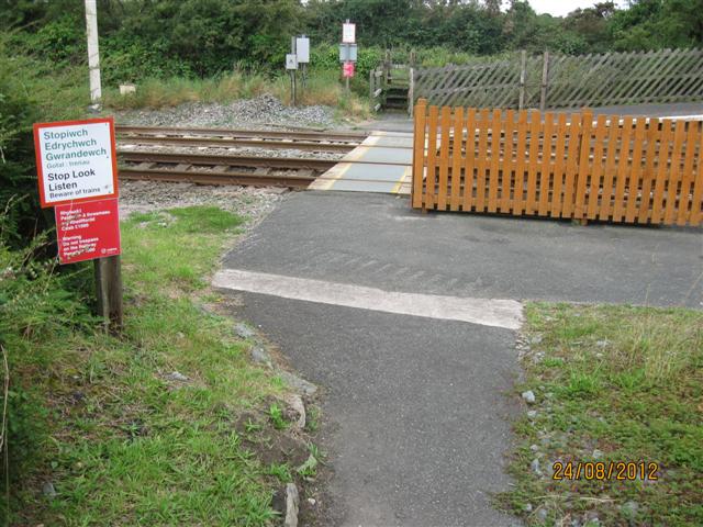
We don't yet have any user-contributed photos of Bodorgan Station Level Crossing.