Latitude: 53.7046 / 53°42'16"N
Longitude: -0.8751 / 0°52'30"W
OS Eastings: 474357
OS Northings: 423721
OS Grid: SE743237
Mapcode National: GBR QTBL.BQ
Mapcode Global: WHFDK.J4JS
Pluscode: 9C5XP43F+VX
What3Words: smallest.selling.heartache
Is the location marker in the wrong place? You can help fix that!
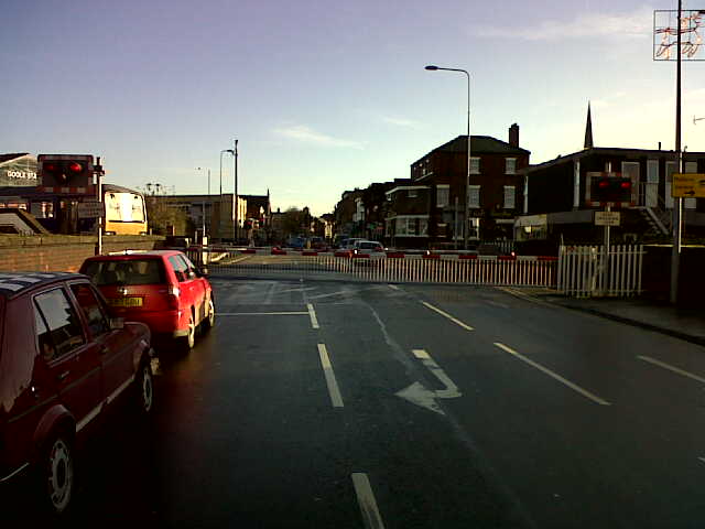
We don't yet have any user-contributed photos of Boothferry Road Level Crossing.