Latitude: 52.9453 / 52°56'42"N
Longitude: -0.7966 / 0°47'47"W
OS Eastings: 480963
OS Northings: 339330
OS Grid: SK809393
Mapcode National: GBR CN6.9G1
Mapcode Global: WHFJ8.Q7WF
Pluscode: 9C4XW6W3+49
What3Words: swims.bicker.iceberg
Is the location marker in the wrong place? You can help fix that!
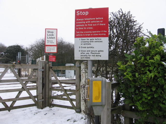
We don't yet have any user-contributed photos of Bottesford Level Crossing.