Latitude: 53.7259 / 53°43'33"N
Longitude: -2.6448 / 2°38'41"W
OS Eastings: 357552
OS Northings: 425697
OS Grid: SD575256
Mapcode National: GBR 9TZC.62
Mapcode Global: WH96Z.BLTZ
Pluscode: 9C5VP9G4+93
What3Words: surely.stump.coins
Is the location marker in the wrong place? You can help fix that!
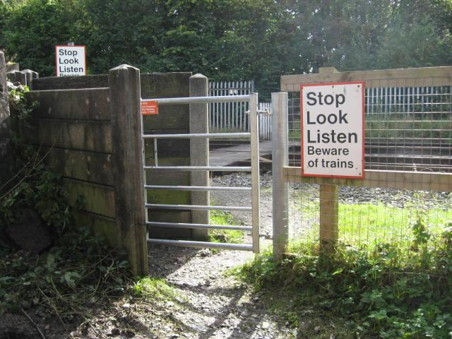
We don't yet have any user-contributed photos of Bradkirk Lane Level Crossing.