Latitude: 52.8667 / 52°52'0"N
Longitude: -1.7026 / 1°42'9"W
OS Eastings: 420117
OS Northings: 329959
OS Grid: SK201299
Mapcode National: GBR 4BP.8CD
Mapcode Global: WHCFY.T6FM
Pluscode: 9C4WV78W+MX
What3Words: ignites.according.romantics
Is the location marker in the wrong place? You can help fix that!
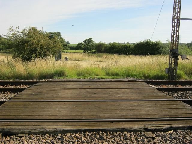
We don't yet have any user-contributed photos of Brandons Level Crossing.