Latitude: 55.0667 / 55°4'0"N
Longitude: -3.5617 / 3°33'42"W
OS Eastings: 300362
OS Northings: 575803
OS Grid: NY003758
Mapcode National: GBR 39KV.PJ
Mapcode Global: WH5WK.8X56
Pluscode: 9C7R3C8Q+M8
What3Words: span.panic.patch
Is the location marker in the wrong place? You can help fix that!
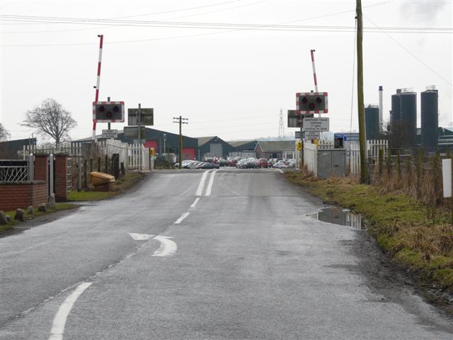
We don't yet have any user-contributed photos of Brasswell Level Crossing.