Latitude: 52.1122 / 52°6'44"N
Longitude: -1.7891 / 1°47'20"W
OS Eastings: 414536
OS Northings: 246010
OS Grid: SP145460
Mapcode National: GBR 4MN.JH4
Mapcode Global: VHB0W.Y50L
Pluscode: 9C4W4666+V8
What3Words: stumps.mouths.zoned
Is the location marker in the wrong place? You can help fix that!
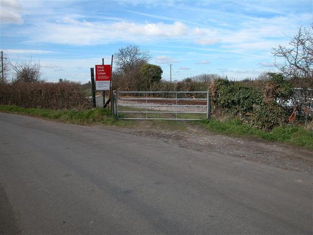
We don't yet have any user-contributed photos of Broad Marston Level Crossing.