Latitude: 53.3237 / 53°19'25"N
Longitude: -2.3358 / 2°20'8"W
OS Eastings: 377732
OS Northings: 380807
OS Grid: SJ777808
Mapcode National: GBR DZ40.38
Mapcode Global: WH992.3Q0B
Pluscode: 9C5V8MF7+FM
What3Words: node.lovely.shirt
Is the location marker in the wrong place? You can help fix that!
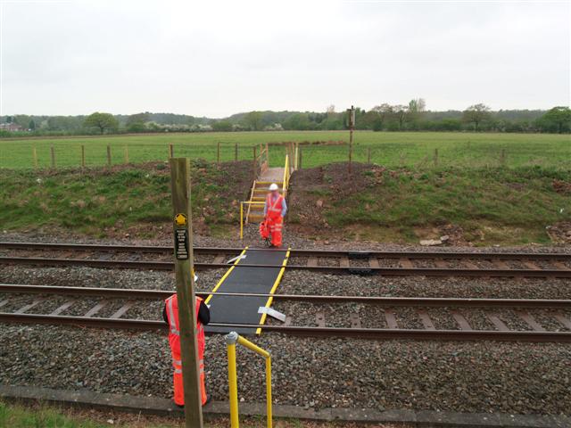
We don't yet have any user-contributed photos of Broad Oak Farm (north) Level Crossing.