Latitude: 53.2234 / 53°13'24"N
Longitude: -2.4652 / 2°27'54"W
OS Eastings: 369040
OS Northings: 369692
OS Grid: SJ690696
Mapcode National: GBR 7W.0V0W
Mapcode Global: WH99L.37DQ
Pluscode: 9C5V6GFM+8W
What3Words: hears.slip.nicely
Is the location marker in the wrong place? You can help fix that!
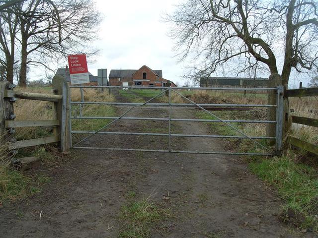
We don't yet have any user-contributed photos of Brook House Farm Level Crossing.