Latitude: 53.3167 / 53°19'0"N
Longitude: -2.3423 / 2°20'32"W
OS Eastings: 377289
OS Northings: 380029
OS Grid: SJ772800
Mapcode National: GBR DZ22.PR
Mapcode Global: WH991.ZWRQ
Pluscode: 9C5V8M85+M3
What3Words: willpower.relishes.threaten
Is the location marker in the wrong place? You can help fix that!
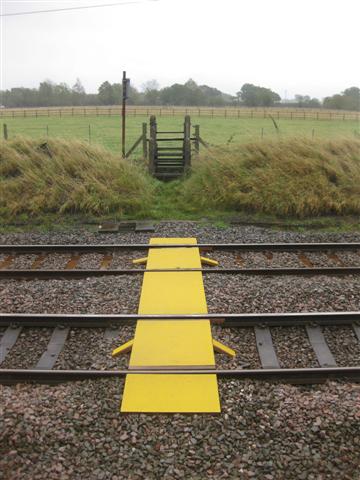
We don't yet have any user-contributed photos of Brook House Lane Level Crossing.