Latitude: 50.8424 / 50°50'32"N
Longitude: -0.8425 / 0°50'33"W
OS Eastings: 481589
OS Northings: 105401
OS Grid: SU815054
Mapcode National: GBR CFC.3SQ
Mapcode Global: FRA 963W.5KZ
Pluscode: 9C2XR5R4+XX
What3Words: gradually.dwelled.tops
Is the location marker in the wrong place? You can help fix that!
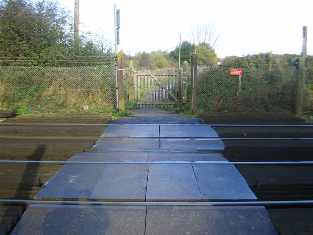
We don't yet have any user-contributed photos of Brooks Lane Level Crossing.