Latitude: 55.9651 / 55°57'54"N
Longitude: -4.6752 / 4°40'30"W
OS Eastings: 233116
OS Northings: 677913
OS Grid: NS331779
Mapcode National: GBR 0G.X5PX
Mapcode Global: WH2MC.4BYD
Pluscode: 9C7QX88F+3W
What3Words: proves.branch.maple
Is the location marker in the wrong place? You can help fix that!
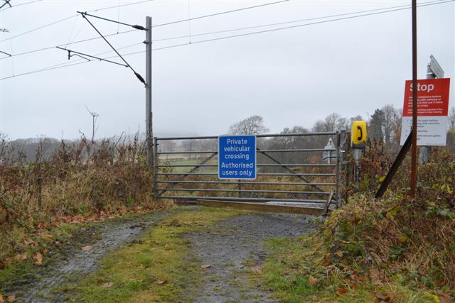
We don't yet have any user-contributed photos of Brooks Level Crossing.