Latitude: 51.812 / 51°48'43"N
Longitude: -2.2612 / 2°15'40"W
OS Eastings: 382089
OS Northings: 212624
OS Grid: SO820126
Mapcode National: GBR 0KD.C46
Mapcode Global: VH94J.RQGB
Pluscode: 9C3VRP6Q+QG
What3Words: woven.swung.closer
Is the location marker in the wrong place? You can help fix that!
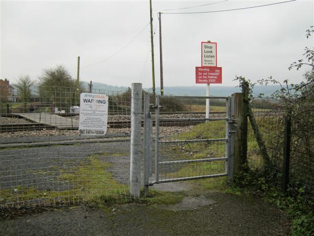
We don't yet have any user-contributed photos of Brookthorpe Level Crossing.