Latitude: 53.7402 / 53°44'24"N
Longitude: -0.6714 / 0°40'17"W
OS Eastings: 487724
OS Northings: 427906
OS Grid: SE877279
Mapcode National: GBR RTR5.FZ
Mapcode Global: WHGFL.N8G1
Pluscode: 9C5XP8RH+3C
What3Words: poetry.research.polygraph
Is the location marker in the wrong place? You can help fix that!
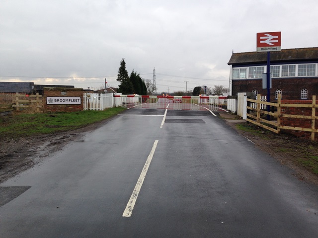
We don't yet have any user-contributed photos of Broomfleet Level Crossing.