Latitude: 56.4675 / 56°28'2"N
Longitude: -2.8729 / 2°52'22"W
OS Eastings: 346315
OS Northings: 730932
OS Grid: NO463309
Mapcode National: GBR VN.3GN8
Mapcode Global: WH7RC.VP4V
Pluscode: 9C8VF48G+XR
What3Words: tolerable.explain.kilowatt
Is the location marker in the wrong place? You can help fix that!
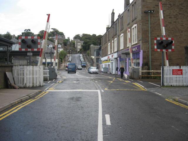
We don't yet have any user-contributed photos of Broughty Ferry Level Crossing.