Latitude: 53.328 / 53°19'40"N
Longitude: -0.826 / 0°49'33"W
OS Eastings: 478289
OS Northings: 381870
OS Grid: SK782818
Mapcode National: GBR QYNY.ZQ
Mapcode Global: WHFGB.8MY2
Pluscode: 9C5X85HF+5J
What3Words: honey.clincher.crispier
Is the location marker in the wrong place? You can help fix that!
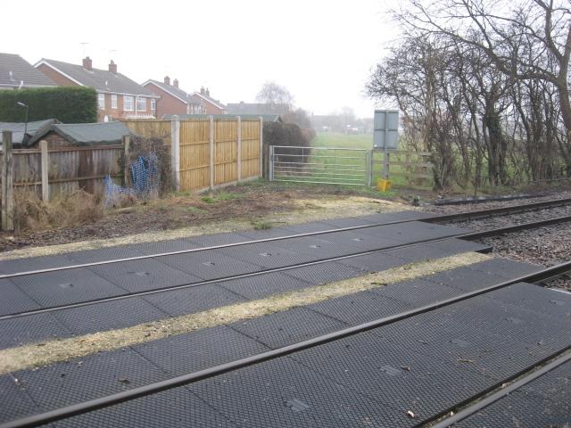
We don't yet have any user-contributed photos of Browns Level Crossing.