Latitude: 51.883 / 51°52'58"N
Longitude: -1.6122 / 1°36'44"W
OS Eastings: 426787
OS Northings: 220561
OS Grid: SP267205
Mapcode National: GBR 5RY.TFN
Mapcode Global: VHBZF.0XJW
Pluscode: 9C3WV9MQ+54
What3Words: mallets.forget.song
Is the location marker in the wrong place? You can help fix that!
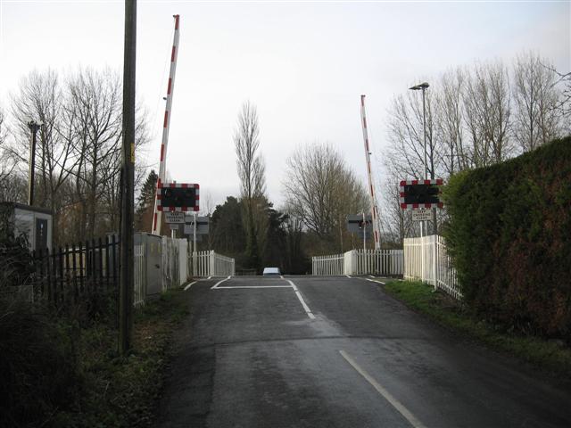
We don't yet have any user-contributed photos of Bruern Level Crossing.