Latitude: 51.4027 / 51°24'9"N
Longitude: -1.4579 / 1°27'28"W
OS Eastings: 437804
OS Northings: 167210
OS Grid: SU378672
Mapcode National: GBR 708.XYN
Mapcode Global: VHC20.P03J
Pluscode: 9C3WCG3R+3R
What3Words: vision.remind.cocoons
Is the location marker in the wrong place? You can help fix that!
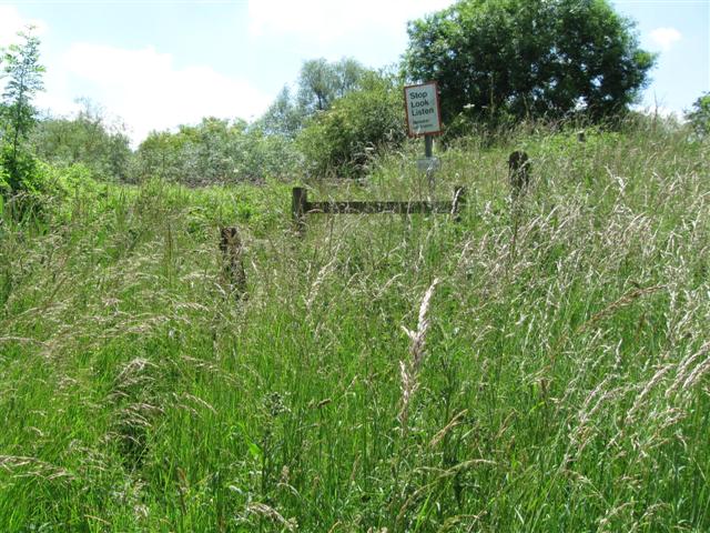
We don't yet have any user-contributed photos of Brunsdon Lock Level Crossing.