Latitude: 58.1229 / 58°7'22"N
Longitude: -3.6664 / 3°39'58"W
OS Eastings: 301941
OS Northings: 916096
OS Grid: ND019160
Mapcode National: GBR K798.582
Mapcode Global: WH5DS.N396
Pluscode: 9CCR48FM+5F
What3Words: opens.roughest.logged
Is the location marker in the wrong place? You can help fix that!
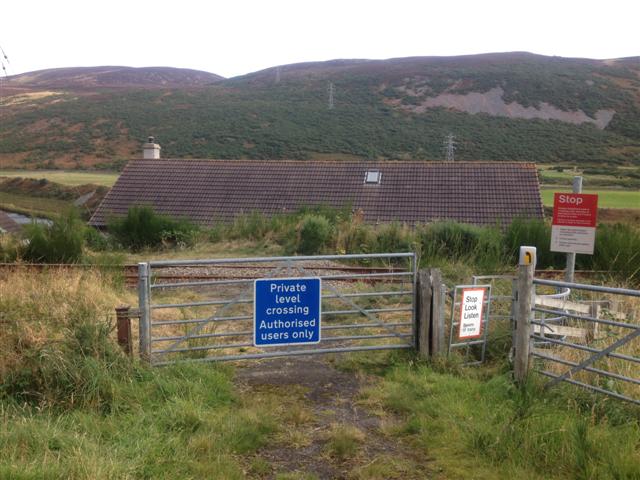
We don't yet have any user-contributed photos of Bual 2 Level Crossing.