Latitude: 52.3608 / 52°21'39"N
Longitude: -2.9358 / 2°56'9"W
OS Eastings: 336366
OS Northings: 274055
OS Grid: SO363740
Mapcode National: GBR B8.SCXH
Mapcode Global: VH76K.2X9K
Pluscode: 9C4V9367+8M
What3Words: twinge.servicing.splints
Is the location marker in the wrong place? You can help fix that!
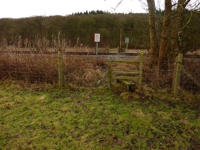
We don't yet have any user-contributed photos of Bucknell Level Crossing.