Latitude: 53.9554 / 53°57'19"N
Longitude: -1.5399 / 1°32'23"W
OS Eastings: 430290
OS Northings: 451127
OS Grid: SE302511
Mapcode National: GBR KQPP.FV
Mapcode Global: WHC8M.9VZ4
Pluscode: 9C5WXF46+42
What3Words: skirt.proved.richly
Is the location marker in the wrong place? You can help fix that!
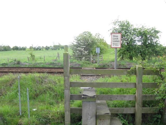
We don't yet have any user-contributed photos of Bunkers Hill Level Crossing.