Latitude: 52.2652 / 52°15'54"N
Longitude: 0.1998 / 0°11'59"E
OS Eastings: 550213
OS Northings: 265287
OS Grid: TL502652
Mapcode National: GBR M7Y.WX3
Mapcode Global: VHHJY.DBZ9
Pluscode: 9F42758X+3W
What3Words: consults.magical.opera
Is the location marker in the wrong place? You can help fix that!
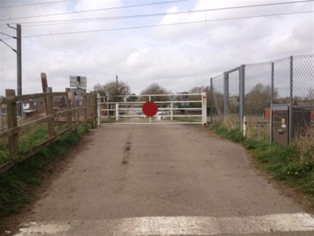
We don't yet have any user-contributed photos of Burgess Drove Level Crossing.