Latitude: 54.3551 / 54°21'18"N
Longitude: -2.7669 / 2°46'0"W
OS Eastings: 350257
OS Northings: 495780
OS Grid: SD502957
Mapcode National: GBR 9L32.SL
Mapcode Global: WH82P.GSNN
Pluscode: 9C6V964M+27
What3Words: solutions.painting.combining
Is the location marker in the wrong place? You can help fix that!
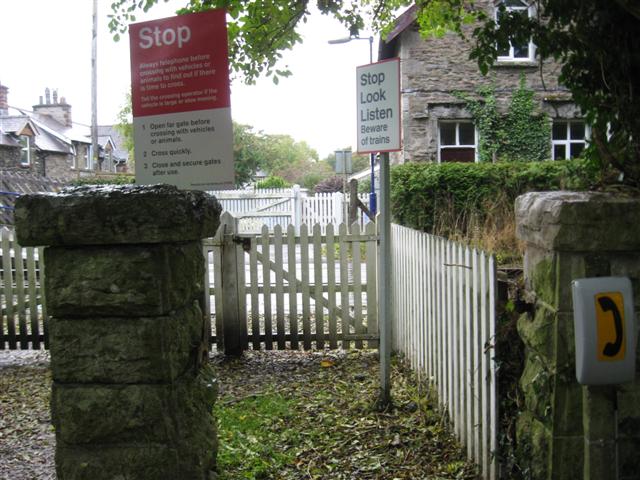
We don't yet have any user-contributed photos of Burneside Station Level Crossing.