Latitude: 57.5444 / 57°32'39"N
Longitude: -2.8635 / 2°51'48"W
OS Eastings: 348408
OS Northings: 850803
OS Grid: NJ484508
Mapcode National: GBR M89S.6YJ
Mapcode Global: WH7L4.ZMLR
Pluscode: 9C9VG4VP+QH
What3Words: galleries.swung.unimpeded
Is the location marker in the wrong place? You can help fix that!
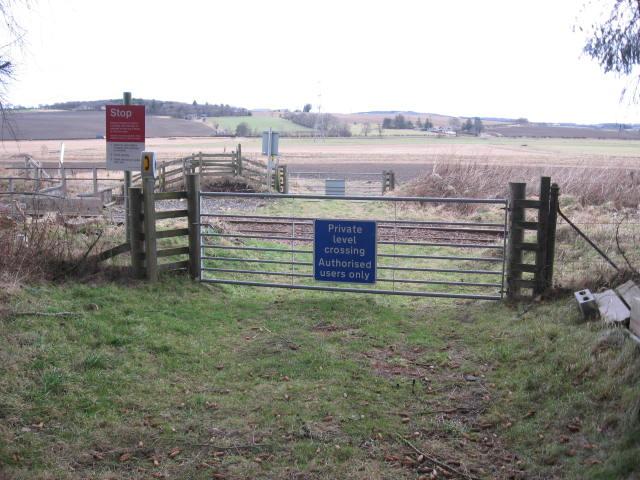
We don't yet have any user-contributed photos of Burnmouth Level Crossing.