Latitude: 52.5532 / 52°33'11"N
Longitude: -0.0332 / 0°1'59"W
OS Eastings: 533447
OS Northings: 296859
OS Grid: TL334968
Mapcode National: GBR K1H.Y5X
Mapcode Global: VHGL0.C3T1
Pluscode: 9C4XHX38+7P
What3Words: tuned.skins.incensed
Is the location marker in the wrong place? You can help fix that!
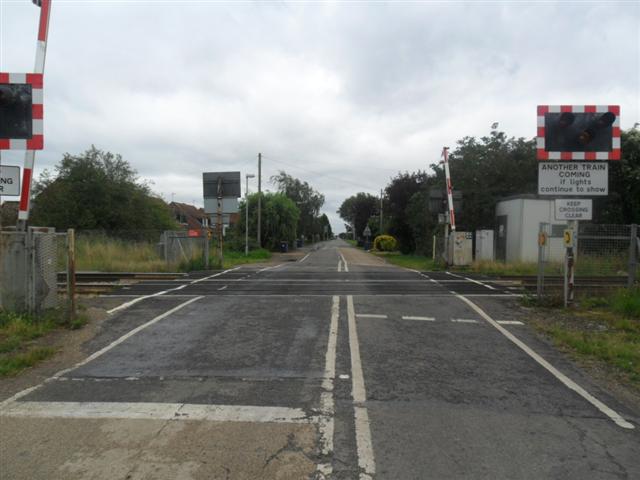
We don't yet have any user-contributed photos of Burnt House Level Crossing.